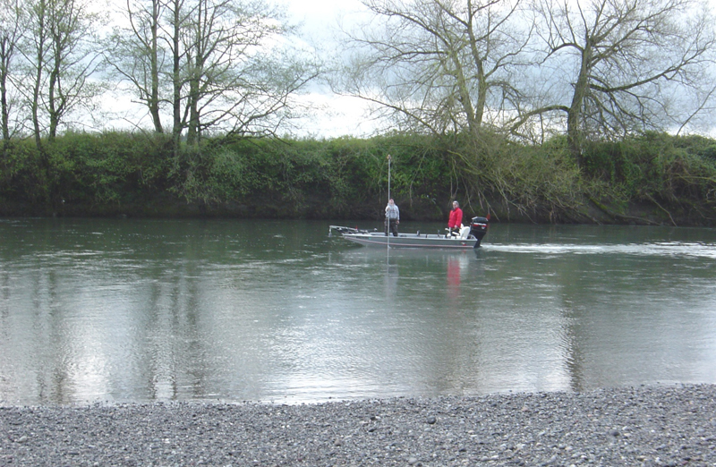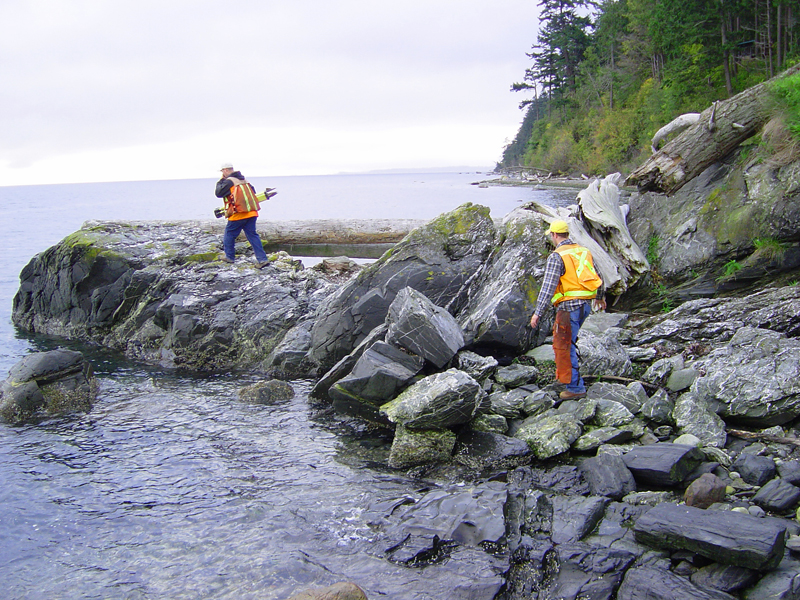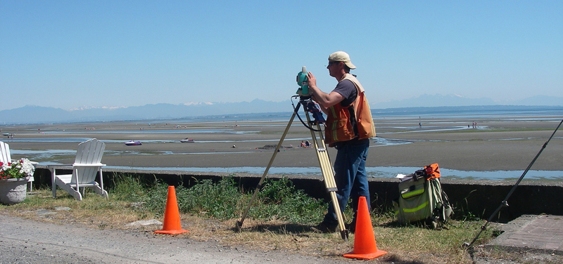
Point Roberts
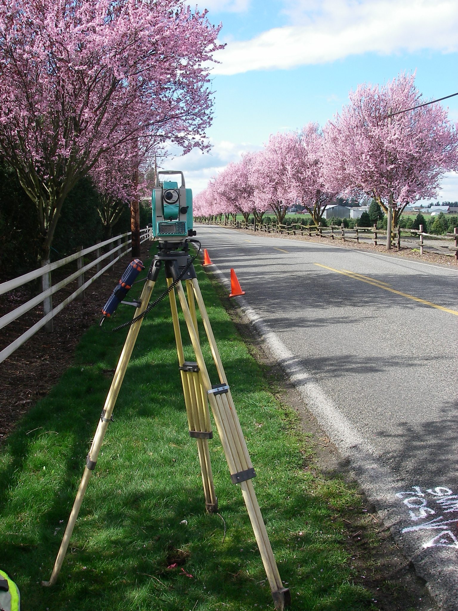
Small Hydrographic Survey in Point Roberts, Whatcom, WA
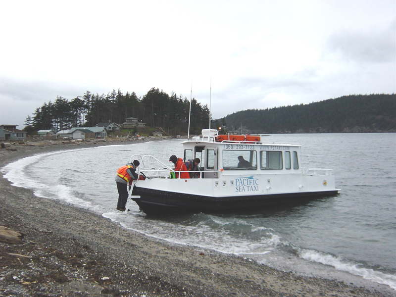
A hydrographic survey measures, describes and maps features that can be found underwater. To learn more about Small Hydrographic Survey in Point Roberts, Whatcom County, WA, contact Northwest Surveying and GPS today.