Land Surveying Professionals in Whatcom County, Washington

Northwest Surveying & GPS, Inc.

Service Locations

We are Whatcom County, Washington land surveying experts with over 3,300 Record of Surveys and over 250 Short Plats recorded.

Everson

Topographic Survey in Everson, Whatcom County, WA

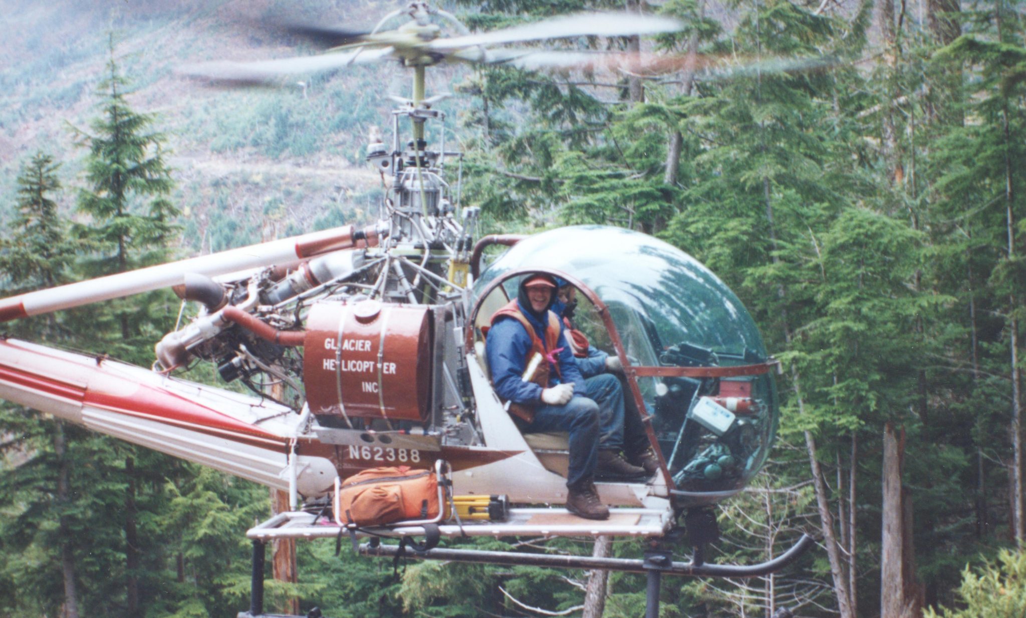
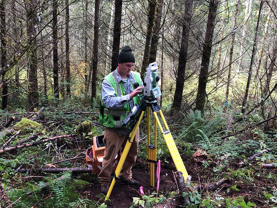
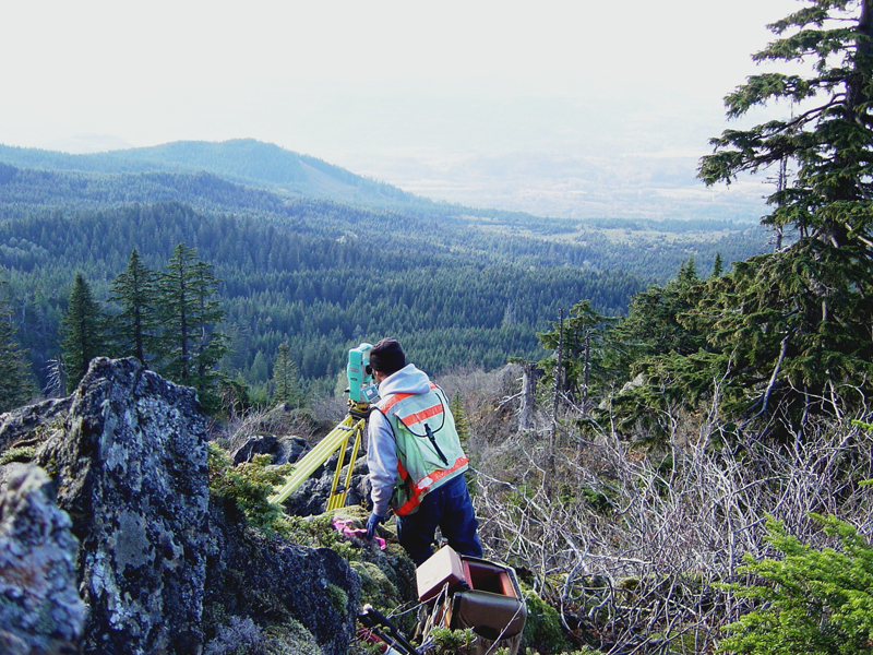
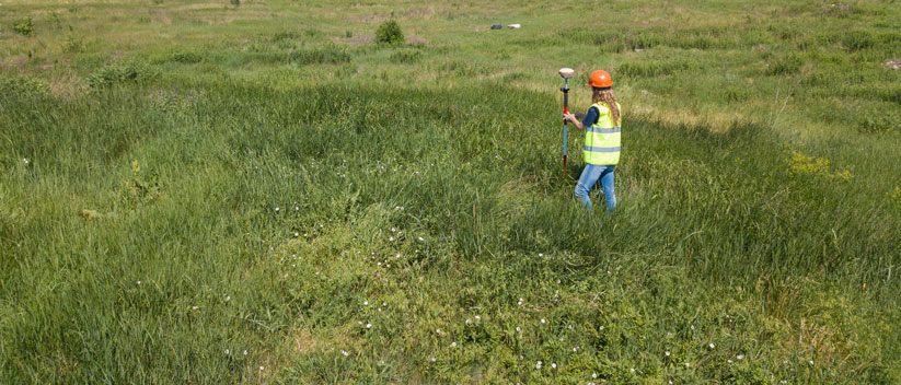
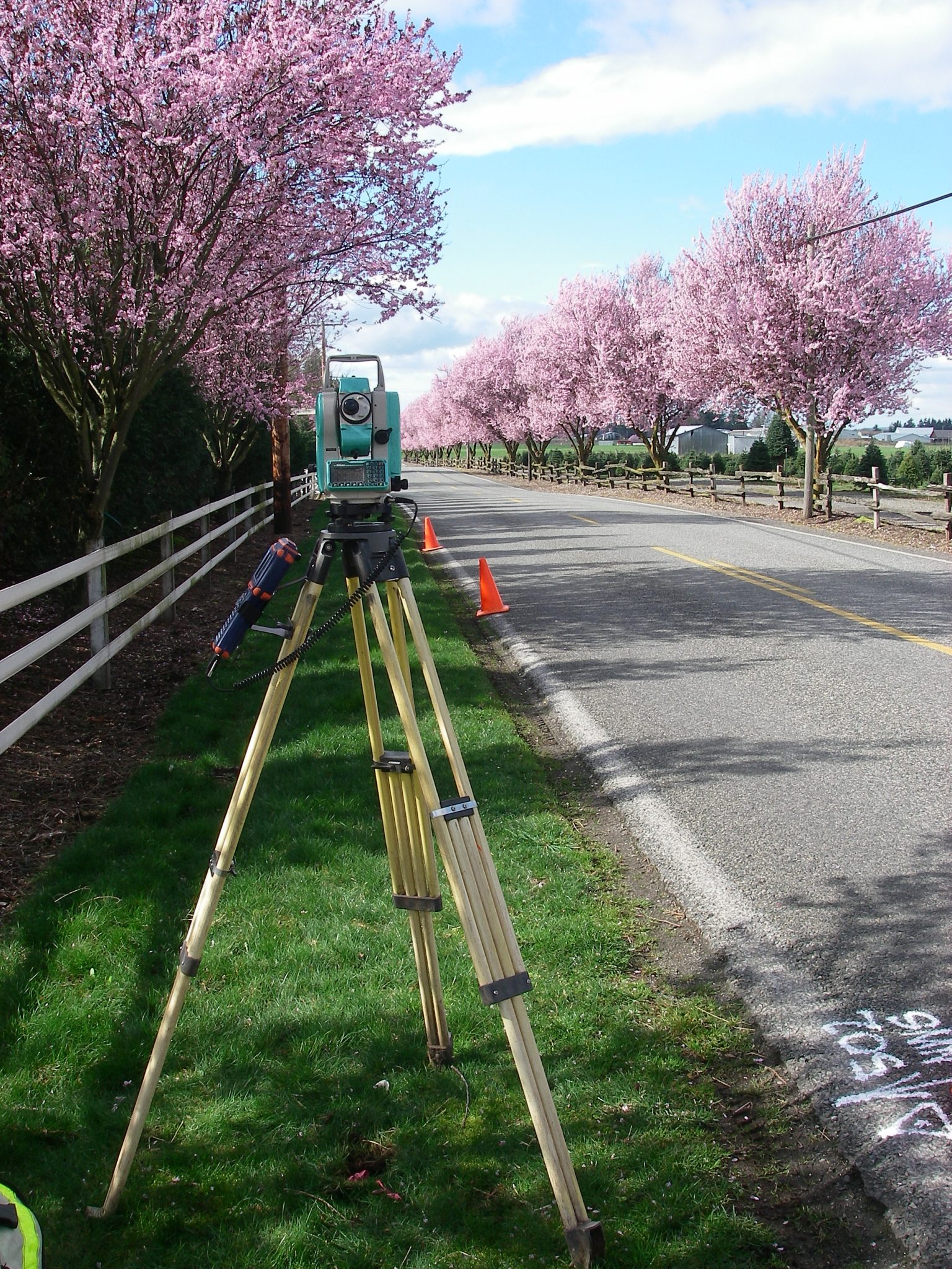
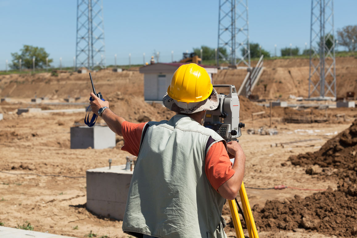
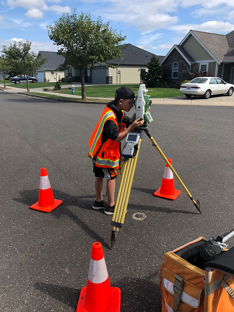
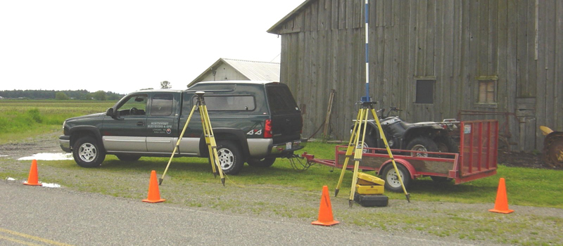
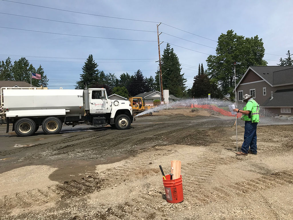
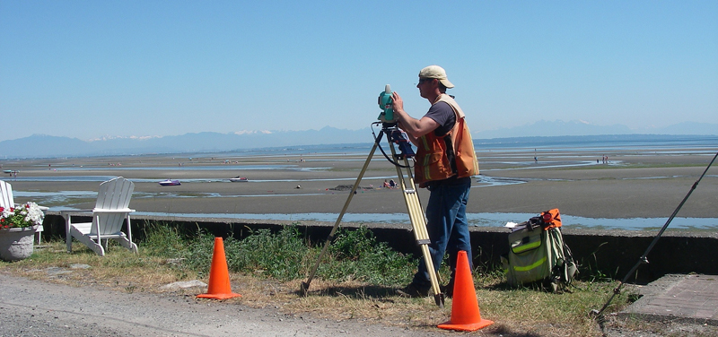
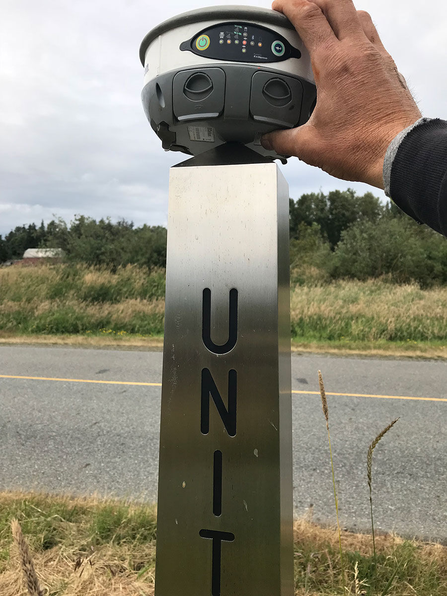
Northwest Surveying and GPS licensed professional surveyors provide topographic services to help clients identify and assess features, elevations, and slopes at a property site to ensure that it is appropriate and feasible for the intended construction projects. To learn more about our construction staking services in Everson, Whatcom County, WA, contact us today.

Launch Service
Northwest Surveying & GPS., ALTA
Bellingham

Topographic Survey in Bellingham, Whatcom County, WA

A topographic survey locates all surface features of a property, and depicts all natural features and elevations. In essence it is a 3-dimensional map of a 3-dimensional property showing all natural and man-made features and improvements. To learn more about our Topographic Surveys in Bellingham, Whatcom County, WA, contact us today.

Launch Service
Northwest Surveying & GPS, Inc., Timber Harvest Boundary Survey
Lynden

Timber Harvest Boundary Surveys in Lynden, Whatcom County, WA

Timber as an industry touches our daily lives in ways we don’t consider. Our homes, our furniture, the paper we use and the packaging that makes worldwide shipping possible all rely on the intelligent, scientific management of our forests. To learn more about Timber Harvest Boundary Survey in Lynden, Whatcom County, WA, contact us today.

Launch Service
Sumas

Construction Staking in Sumas, Whatcom County, WA

Construction Staking, also known as a Site Layout Survey, is the process of interpreting construction plans and marking the location of proposed new structures such as roads or buildings. Construction staking is performed to ensure a project is built according to engineering design plans.

Launch Service
Northwest Surveying and GPS, Whatcom County, WA
Nooksack

Construction Staking in Nooksack, Whatcom County, WA

This visual staking enables the builders to locate each feature exactly where it is supposed to be placed on the site, keeping them compliant with the construction plans. To learn more, Northwest Surveying and GPS is here to help with your land surveys needs and other related services in Nooksack, Whatcom County, WA.

Launch Service
Lynden

Construction Staking in Lynden, Whatcom County, WA

When translating plans and blueprints to actual structures, accuracy is key to preventing costly mistakes. That’s why construction staking is important. To learn more about construction staking in Lynden, Whatcom County, WA – contact Northwest Surveying and GPS now.

Launch Service
Northwest Surveying & GPS
Everson

Construction Staking in Everson, Whatcom County, WA

Construction staking is vital since it helps a project manager determine where they might be problems with a project plan. For further detais about construction staking in Everson, Whatcom County, WA, Northwest Surveying and GPS is here to help with your land surveys needs and other related services.

Launch Service

Why Should You Choose Us

Utilizes Latest Technology

We utilize the latest technology to provide a Incorporating state of the art computers and software in our office production.

37 Solid Years in Service

Northwest Surveying & GPS, Inc. is a solid 37 years old local land surveying company committed to serving the people of Whatcom County.

3,300 Record of Surveys

3,300 Record of Surveys and over 250 Short Plats recorded in Whatcom County

Land Surveying Service We Offer Includes

Our boundary survey team has been in the industry for 37 years and we have accumulated a wealth of local experience, having worked across Whatcom County, WA

A short subdivision is a land division of a legal lot of record into less than 5 lots consistent with zoning whereas the long subdivision consists of 5 or more.
Remove your property from the FEMA floodplain (LOMA/LOMR) Let’s take a look at how to know if your property is in a flood hazard area and ways to remedy it.
Construction staking is the process of taking planned improvements and buildings, and then actually mapping them out on the site where the building will take place.
The days of indiscriminate timbering are long gone, thankfully replaced with harvesting plans with long time horizons, based on gps and gis data.
Northwest Survey and GPS licensed professional surveyors provide topographic services to help clients identify and assess features, elevations, and slopes at a property site to ensure that it is appropriate and feasible for the intended construction projects.
The ALTA Survey is a detailed land parcel map, showing all existing improvements of the property, utilities, and significant observations within the insured estate.
During a hydrographic survey, those involved collect all the data needed for maritime cartographers to put together an accurate underwater topographical map.
A lot line revision or adjustment is the reconfiguration of the boundaries between two or more existing adjacent parcels where the land taken from one parcel is added to an adjacent parcel and where a greater number of parcels than originally existed is not created.
Northwest Surveying & GPS specializes in restoration and reclamation projects for gravel pits. Northwest Surveying & GPS provides a cost-effective alternative to importing topsoil and other expensive restoration options.
Easement Preparation is needed if you are planning to grant your adjoining property owner, utility company, municipality, etc., an easement or right-of-way to access your property, install utilities, maintain structures, etc.
From project inception, Northwest Surveying & GPS closely coordinate the requirements and facilitate solutions to successfully navigate through the condominium creation process.
Wetland maps are a prerequisite for wetland inventory and for wetland development planning, management, protection, and restoration. Maps provide information on wetland type, location, and size.

We have satisfied clients all over US

READ SOME OF OUR YELP REVIEWS
js_loader

Estimate Request Form

  • Location of site if different than above.
  • This field is for validation purposes and should be left unchanged.