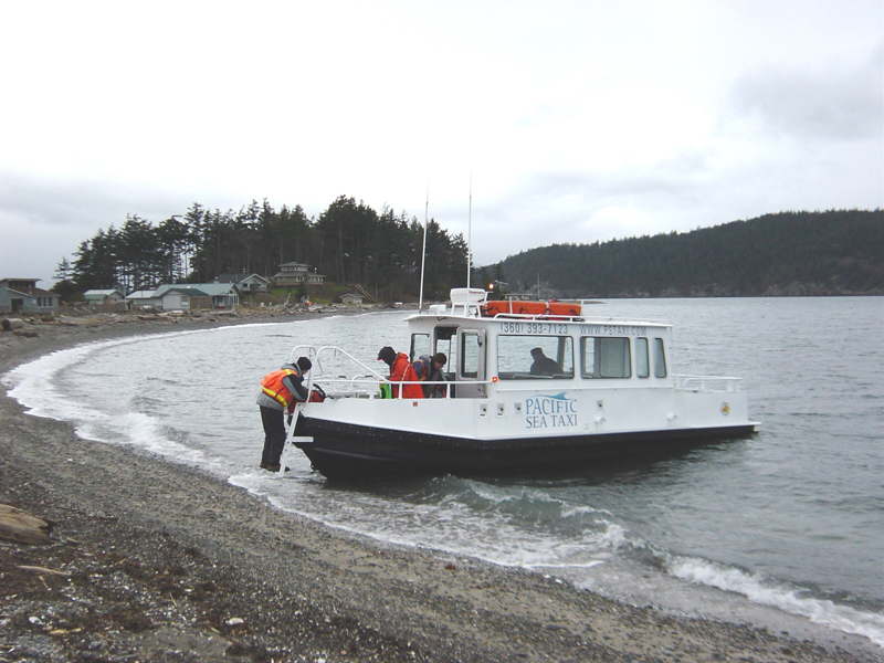
Just as land is surveyed for a variety of reasons – mapping, real estate, government etc, water needs to be surveyed too. A hydrographic survey measures, describes and maps features that can be found underwater.
There are several reasons why hydrographic surveys are important, with the main purpose being for navigation. When ships or fishing boats are out on the water, they use hydrographs to establish whether an area is safe to head into, either in advance or while on the water. The hydrographs are also used by those involved with dredging, oiling and environmental impact assessors.
According to Wikipedia: Hydrographic survey is the science of measurement and description of features which affect maritime navigation, marine construction, dredging, offshore oil exploration/offshore oil drilling and related activities. (reference: https://en.wikipedia.org/wiki/)
During a hydrographic survey, those involved collect all the data needed for maritime cartographers to put together an accurate underwater topographical map.
There isn’t just one ‘hydrography expert’ that does all the work – there are numerous different experts across varying fields of study that work together to get the job done. Hydrographic surveyors are the key players involved – they have specialist knowledge on conducting the surveys, and afterwards the maritime cartographers play an important role in interpreting and mapping the data collected.
For more information about Small Hydrographic survey in Point Roberts, Whatcom County, WA – its processes, requirements and other important matters that you need to know, we at Northwest Surveying and GPS are ready to assist you.
You may use the contact details below to reach us.
