Topographic Surveys
- Page: Topographic Surveys
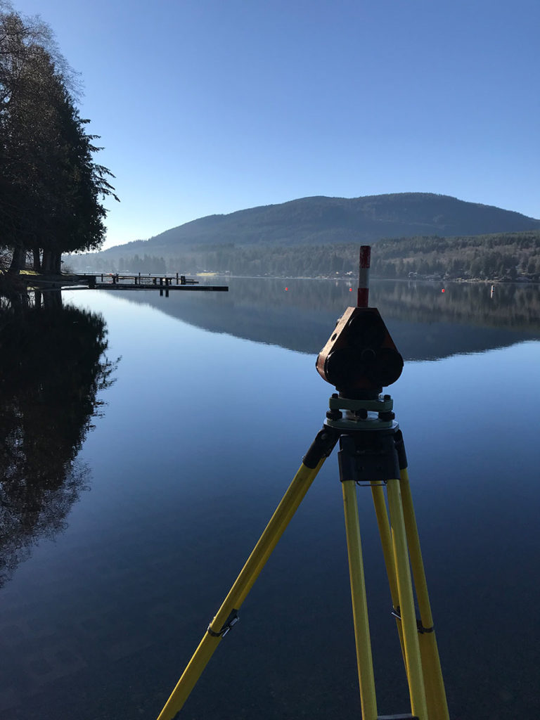
A topographic survey locates all surface features of a property, and depicts all natural features and elevations. In essence it is a 3-dimensional map of a 3-dimensional property showing all natural and man-made features and improvements. Specifically, it shows their location, size, height and any changes in elevation.
When to request a Topographic Survey?
Topographic surveys, also known as contour surveys, may be required as part of real estate transactions, civil engineering design and construction projects, including:
- New construction
- Remodeling projects to existing structures
- Utility design
- Road or bridge design or improvements
- Grading or drainage projects
Topographic surveys are required by many local government bodies to determine the existing conditions and elevations of a site. Together with a boundary survey, topographic surveys are used by architects and engineers to create accurate and appropriate designs based on existing conditions.
For more information about Topographic Surveys in Whatcom County, WA – its processes, requirements and other important matters that you need to know, we at Northwest Surveying and GPS are ready to assist you.
You may use the contact details below to reach us.
Why Should You Choose Us
Utilizes Latest Technology
We utilize the latest technology to provide a Incorporating state of the art computers and software in our office production.
37 Solid Years in Service
Northwest Surveying & GPS, Inc. is a solid 37 years old local land surveying company committed to serving the people of Whatcom County.
3,300 Record of Surveys
3,300 Record of Surveys and over 250 Short Plats recorded in Whatcom County
Our company is dedicated to delivering the people of Whatcom County a quality product for a reasonable price.
Northwest Surveying & GPS, Inc. was founded by Denny DeMeyer in 1984. Denny is a lifelong (67 year) native of Whatcom County, graduating from Ferndale High School in 1967 and Everett Community College with an Associate Degree in Forest Technology in 1969. He passed the land surveyor’s exam and received his surveyor’s license in 1983. Denny is now retired and his son, Jeromy has purchased the company.
Northwest Surveying & GPS, Inc. is a solid 37 year old local land surveying company committed to serving the people of Whatcom County with over 3300 Record of Surveys and over 250 Short Plats recorded in Whatcom County