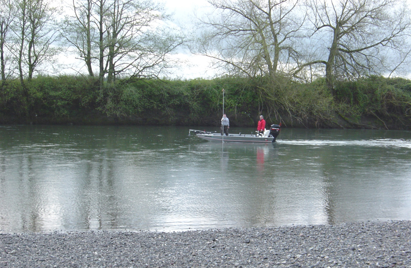
Nooksack River cross sections at Guide Meridian and Everson Bridges

○ Used GPS and conventional equipment, including a gas-powered river boat, to collect underwater cross section data at the upriver sides of bridges.
Saar Creek Sediment Trap Project
○ Used GPS equipment to collect sufficient data to use as a base for placement of materials based upon an accurate as-built survey.
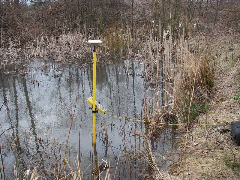
Johnson Creek Cross Sections

○ Used GPS to establish cross section on Johnson Creek from US-Canada border, south to Badger Road. Worked with Gould and Associates to duplicate historic Corps work. Included 24 cross sections in an area approximately 4 miles x 3 miles.
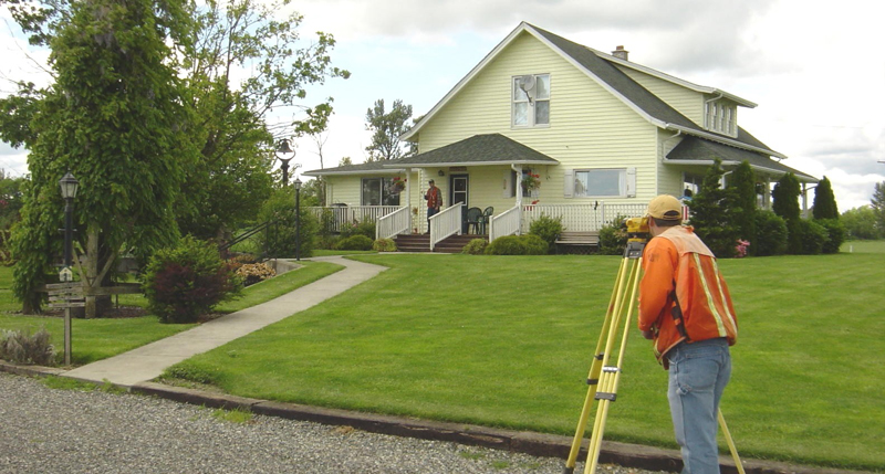
Whatcom County Public Works, Engineering Division

○ PLSS Recovery & Survey Monumentation: Utilized Fast Static GPS technology to establish horizontal and vertical positions for over 34 section corners in Township 40 North, Range 3 East of W.M. This project included research, measurement and perpetuation of those corners. ○ PLSS Recovery & Survey Monumentation: Utilized Fast Static GPS technology to establish horizontal […]
Whatcom County Surface Water Division
Saxon Area River Bank Stabilization Project – construction as-built surveys using GPS
equipment; horizontal and vertical survey control was brought to the project site so
conventional methods could be used to gather as-built data, which was used to
generate plans, profiles and cross sections.
Whatcom County PUD#1
Established NGVD 29 elevation of water levels at the USGS river gauge and the PUD intake site.