City of Sumas

○ Street & right-of-way determination, topographic survey for water and sewer line update and extension design. Construction staking of new water line. ○ Topographic survey of the entire Sumas Ave for design of a new street.
City of Ferndale

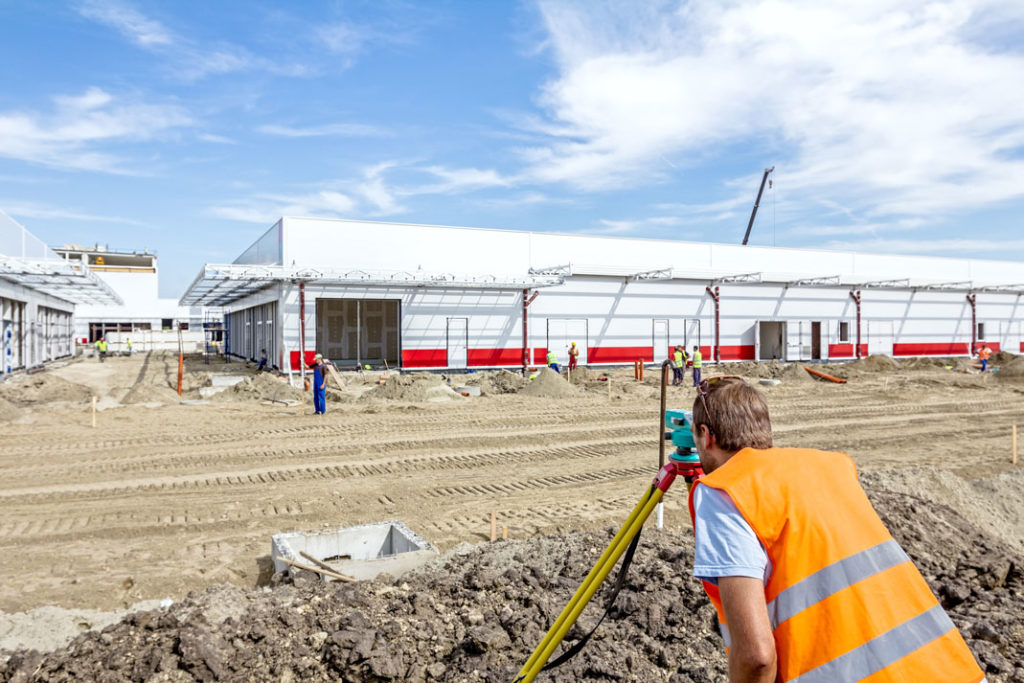
○ Design and construction surveys for bridges, roads, sewer and water facility upgrades, parking lots, etc.
City of Everson
○ Street & right-of-way determination, topographic survey for waterline update and extension design.
Blaine School District No. 503
○ Boundary and topographic surveys for design of additions to Blaine Elementary and Blaine High School.
City of Blaine
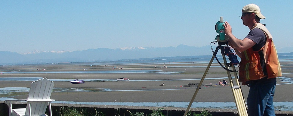
○ Collecting and mapping existing topographic information for landscaping and future design of Marine Park. ○ GPS & topographic survey of Odell Road for street improvement and utilities.
City of Lynden

○ Design and construction surveys for bridges, roads, sewer treatment facility upgrades, parking lots, inter-urban trail, etc. Together with calculations, mapping & preparation of easements, boundary descriptions, right-of-way resolutions & acquisitions. Performed first GPS/GIS control network for a city in Whatcom County. ○ Boundary and topographic survey for design of new Fisher Elementary School and new […]
Nooksack Valley School District No.506

○ Boundary and topographic surveys for design of new Sumas Elementary School and addition to Everson Elementary School.
City of Nooksack

○ Staked new playground at Nooksack Elementary: pro-bono work. ○ FEMA Certificate: Sumas Elementary building at 1024 Lawson Street. ○ Street & right-of-way determination, topographic survey for water line & pump station design
Gravel Pit Reclamation Plans
○ Used GPS and conventional equipment to survey and map most gravel pit companies within the County.
Underwater Cross Sections for Birch Bay Village Marina Dredging
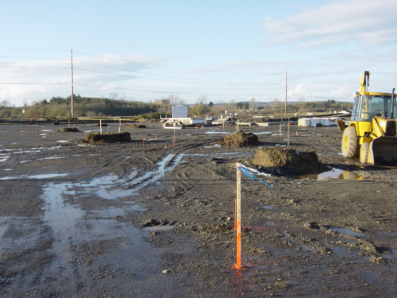
● Underwater cross sections for Birch Bay Village Marina Dredging: ○ Used GPS to complete both pre- and post-dredging surveys and mapping services yearly, since 2001 to the present, in order to maintain the channel leading from the Marina to Birch Bay.