Sumas
Topographic Survey in Sumas, Whatcom County, WA
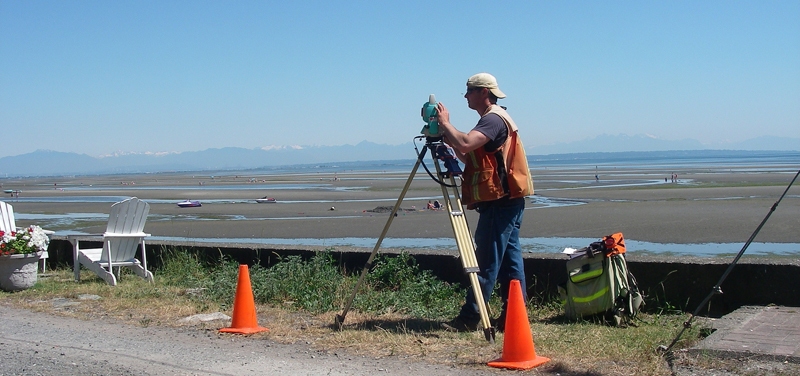
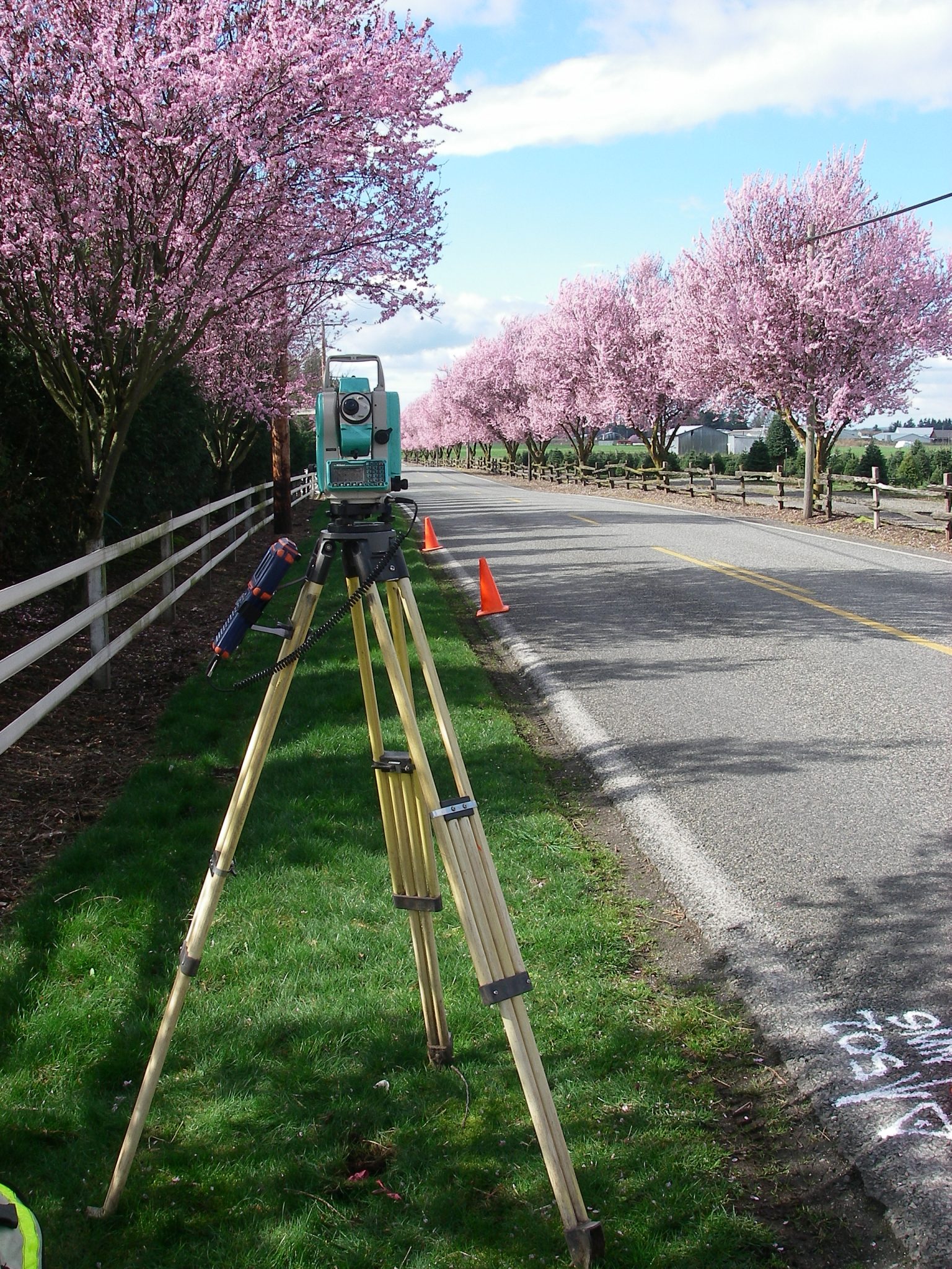
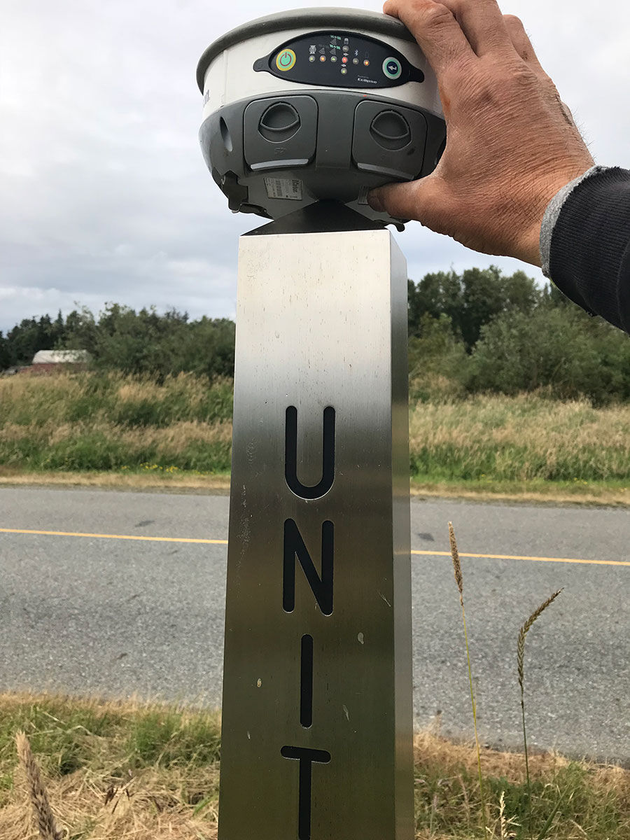
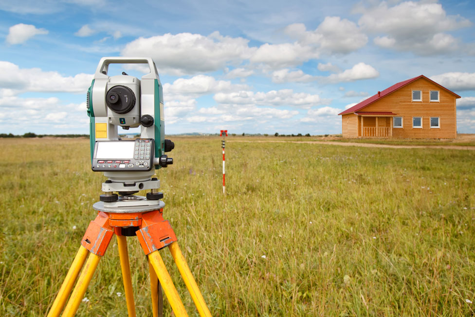
Determining the exact elevation to construct your building or commercial improvement can be obtained by performing a topographic survey. To learn more about Topographic Surveys in Sumas, Whatcom County, WA, contact Northwest Surveying and GPS today.