Sea Bright

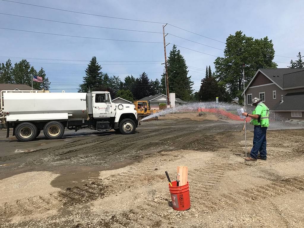
○ Construction staking for 40+ lots in Point Roberts.
Condominium Services in Point Roberts, Whatcom County, WA

A condominium plat is another instrument used to create parcels of land or to create private ownership of improvements within a particular piece of property. To learn more about Condominium services in Point Roberts, Whatcom County, WA, contact Northwest Surveying and GPS today.
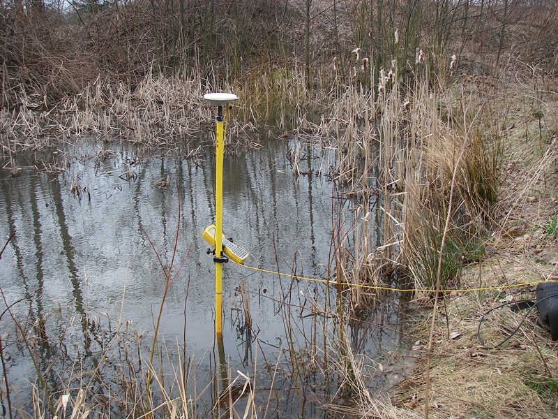
Wetland Surveying and Mapping in Point Roberts, Whatcom County, WA

Wetland boundaries may be identified in some instances by a landowner for frequently flood or saturated wetlands and for wetlands with relatively steep slopes such as incised floodplains. To learn more about Wetland Surveying and Mapping in Point Roberts, Whatcom County, WA, contact Northwest Surveying and GPS today.
Easement Preparation in Point Roberts, Whatcom County, WA
An example of an easement would be if a property owner allows the use of their private road or path for their neighbor’s navigation. To learn more about Easement Preparation in Point Roberts, Whatcom County, WA, contact Northwest Surveying and GPS today.
Gravel Pit Reclamation in Point Roberts, Whatcom County, WA
Northwest Surveying and GPS specializes in restoration and reclamation projects for spent sand and gravel operations. Northwest Surveying and GPS provides a cost-effective alternative to importing topsoil and other expensive restoration options.
Lot Line Adjustment and Lot Reconfigurations in Point Roberts, Whatcom County, WA
Lot Line Adjustment will allow the shapes of up to 4 parcels to be reconfigured. To learn more about Lot Line Adjustment and Lot Reconfigurations in Point Roberts, Whatcom County, WA, contact Northwest Surveying and GPS today.
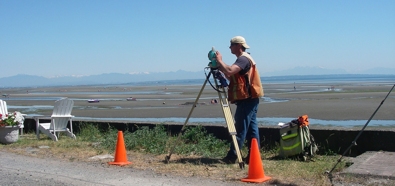
Small Hydrographic Survey in Point Roberts, Whatcom, WA
A hydrographic survey measures, describes and maps features that can be found underwater. To learn more about Small Hydrographic Survey in Point Roberts, Whatcom County, WA, contact Northwest Surveying and GPS today.
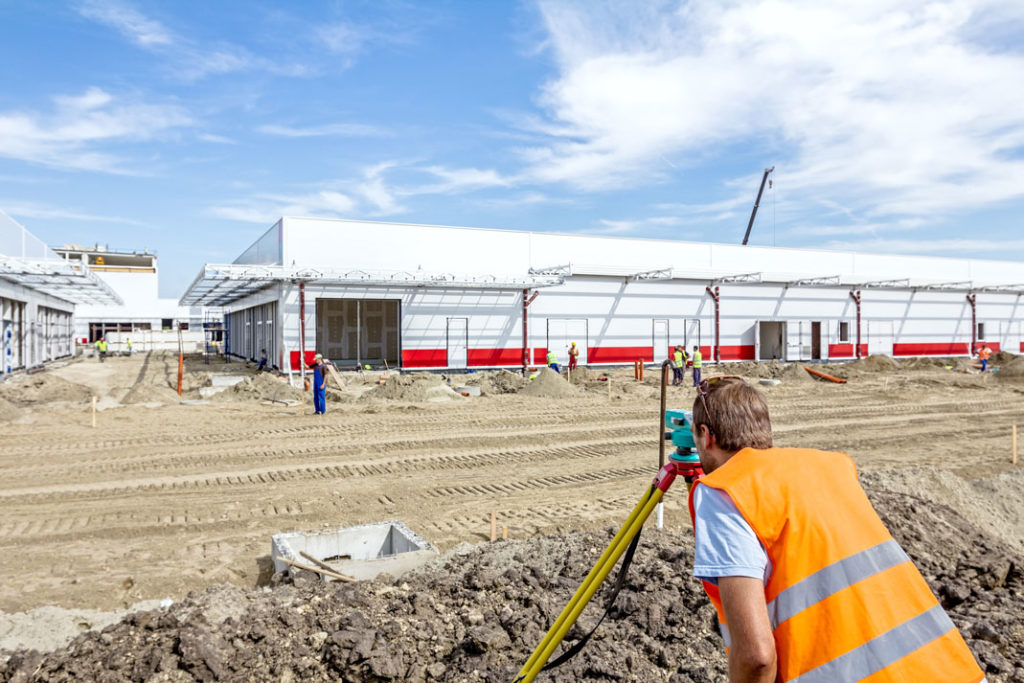
ALTA in Point Roberts, Whatcom County, WA
The ALTA survey may also show zoning and flood zone restrictions or areas indicating potential future use of the property. To learn more about obtaining an ALTA Survey in Point Roberts, Whatcom County, WA, contact Northwest Surveying and GPS today.
Topographic Survey in Point Roberts, Whatcom County, WA
Together with a boundary survey, topographic surveys are used by architects and engineers to create accurate and appropriate designs based on existing conditions. To learn more about Topographic Surveys in Point Roberts, Whatcom County, WA, contact Northwest Surveying and GPS today.
Timber Harvest Boundary Surveys in Point Roberts, Whatcom County, WA

With the high value of timbered forest property today, landowners would be well advised to take sufficient steps to protect their investment.
To learn more about Timber Harvest Boundary Survey in Point Roberts, Whatcom County, WA, contact us today.