Gravel Pit Reclamation Plans
○ Used GPS and conventional equipment to survey and map most gravel pit companies within the County.
Underwater Cross Sections for Birch Bay Village Marina Dredging
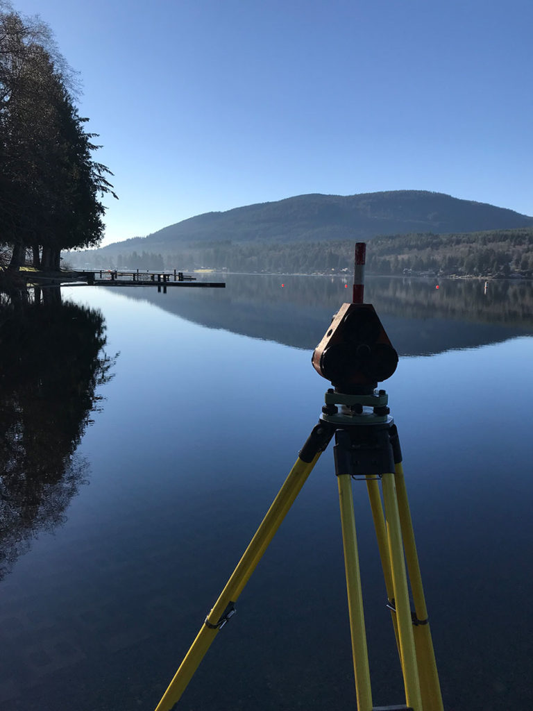
● Underwater cross sections for Birch Bay Village Marina Dredging: ○ Used GPS to complete both pre- and post-dredging surveys and mapping services yearly, since 2001 to the present, in order to maintain the channel leading from the Marina to Birch Bay.
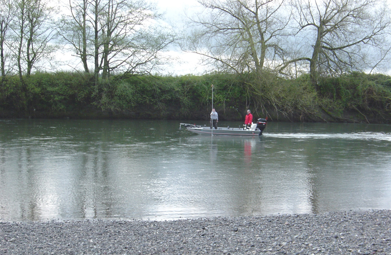
Nooksack River cross sections at Guide Meridian and Everson Bridges

○ Used GPS and conventional equipment, including a gas-powered river boat, to collect underwater cross section data at the upriver sides of bridges.
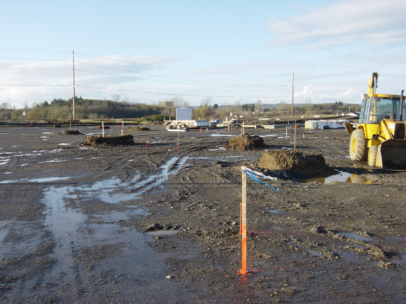
Saar Creek Sediment Trap Project
○ Used GPS equipment to collect sufficient data to use as a base for placement of materials based upon an accurate as-built survey.
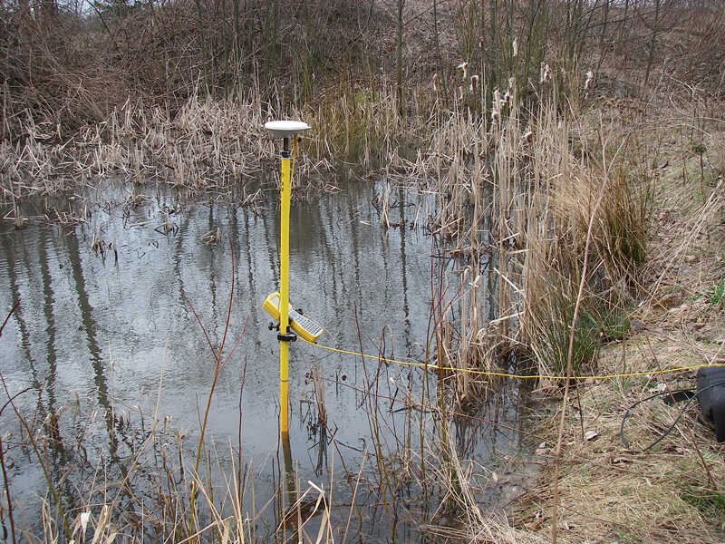
Johnson Creek Cross Sections

○ Used GPS to establish cross section on Johnson Creek from US-Canada border, south to Badger Road. Worked with Gould and Associates to duplicate historic Corps work. Included 24 cross sections in an area approximately 4 miles x 3 miles.
Whatcom County Public Works, Engineering Division

○ PLSS Recovery & Survey Monumentation: Utilized Fast Static GPS technology to establish horizontal and vertical positions for over 34 section corners in Township 40 North, Range 3 East of W.M. This project included research, measurement and perpetuation of those corners. ○ PLSS Recovery & Survey Monumentation: Utilized Fast Static GPS technology to establish horizontal […]
Whatcom County Surface Water Division
Saxon Area River Bank Stabilization Project – construction as-built surveys using GPS
equipment; horizontal and vertical survey control was brought to the project site so
conventional methods could be used to gather as-built data, which was used to
generate plans, profiles and cross sections.
Whatcom County PUD#1
Established NGVD 29 elevation of water levels at the USGS river gauge and the PUD intake site.