Condominium Services in Bellingham, Whatcom County, WA

We specialize in condominium mapping services for new construction condominiums and condominium conversion of existing buildings. To learn more about Condominium services in Bellingham, Whatcom County, WA, contact Northwest Surveying and GPS today.
Wetland Surveying and Mapping in Bellingham, Whatcom County, WA
Wetland maps are a prerequisite for wetland inventory and for wetland development planning, management, protection, and restoration. To learn more about Wetland Surveying and Mapping in Bellingham, Whatcom County, WA, contact Northwest Surveying and GPS today.
Easement Preparation in Bellingham, Whatcom County, WA

Easement Preparation is needed if you are planning to grant your adjoining property owner, utility company, municipality, etc., an easement or right-of-way to access your property, install utilities, maintain structures, use water courses, etc. To learn more about Easement Preparation in Bellingham, Whatcom County, WA, contact Northwest Surveying and GPS today.
Gravel Pit Reclamation in Bellingham, Whatcom County, WA
Northwest Surveying and GPS specializes in restoration and reclamation projects for spent sand and gravel operations. To learn more about Gravel Pit Reclamation in Bellingham, Whatcom County, WA, contact Northwest Surveying and GPS today.
Lot Line Adjustment and Lot Reconfigurations in Bellingham, Whatcom County, WA

A lot line adjustment is the reconfiguration of the boundaries between two or more existing adjacent parcels where the land taken from one parcel is added to an adjacent parcel and where a greater number of parcels than originally existed is not created. To learn more about Lot Line Adjustment and Lot Reconfigurations in Bellingham, Whatcom County, WA, contact Northwest Surveying and GPS today.
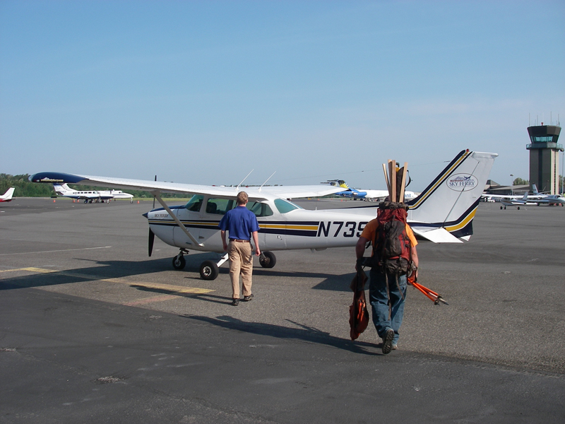
Small Hydrographic Survey in Bellingham, Whatcom, WA

Hydrographic survey is the science of measurement and description of features which affect maritime navigation, marine construction, dredging, offshore oil exploration/offshore oil drilling and related activities. To learn more about Small Hydrographic Survey in Bellingham, Whatcom County, WA, contact Northwest Surveying and GPS today.
ALTA in Bellingham, Whatcom County, WA
The ALTA Survey is a detailed land parcel map, showing all existing improvements of the property, utilities, and significant observations within the insured estate. To learn more about obtaining an ALTA Survey in Bellingham, Whatcom County, WA, contact us today.
Topographic Survey in Bellingham, Whatcom County, WA

A topographic survey locates all surface features of a property, and depicts all natural features and elevations. In essence it is a 3-dimensional map of a 3-dimensional property showing all natural and man-made features and improvements. To learn more about our Topographic Surveys in Bellingham, Whatcom County, WA, contact us today.
Timber Harvest Boundary Surveys in Bellingham, Whatcom County, WA
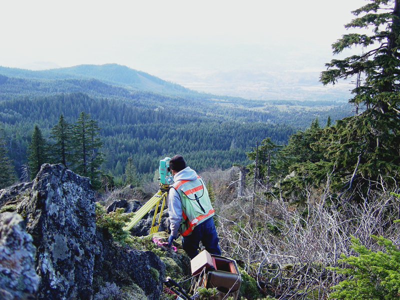
Those who own timberland should ask their surveyor to mark their boundary lines on trees. Some surveyors will flag the trees, and others will mark them with boundary line paint. To learn more about Timber Harvest Boundary Survey in Bellingham, Whatcom County, WA, contact us today.
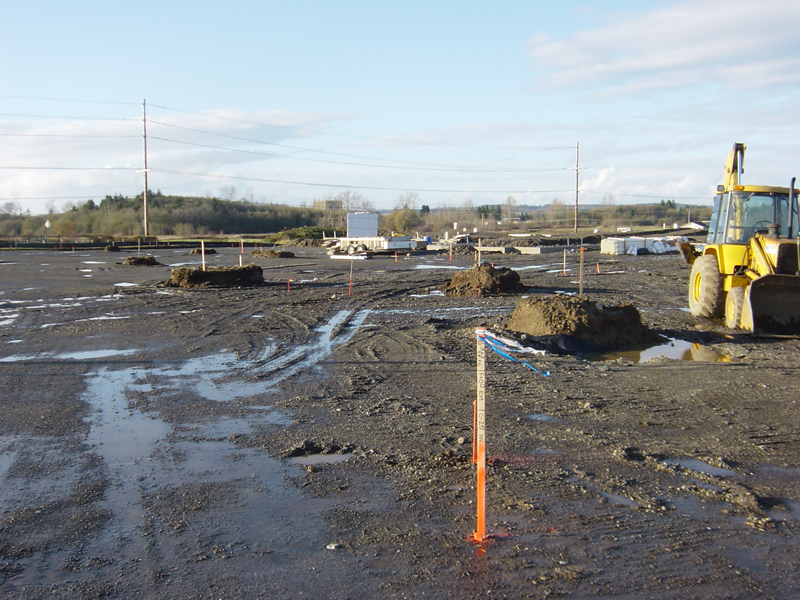
Construction Staking in Bellingham, Whatcom County, WA
Construction staking is performed to ensure a project is built according to engineering design plans in Bellingham, Whatcom County, WA. To learn more about construction staking and other land survey related services, contact Northwest Surveying and GPS now.